Introduction
C G Fry and Son Ltd is carrying out public consultation to advise members of the public and stakeholders with regard to forthcoming planning applications to deliver the final phases of development at Jurston Fields, Wellington.
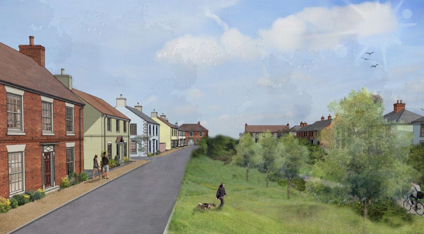
In addition to open market housing and affordable housing, the remainder of the development would deliver large areas of public open space, including a ‘pump track’ and equipped play areas.
This consultation describes the proposed development, its background and planning policy context. A series of plans are provided as downloads to view and there is an opportunity to provide comments and feedback regarding the emerging proposals.
The Site and its Planning Context
To recap, the site was allocated in the adopted Core Strategy (2013) and Outline planning permission was granted by application 43/14/0130, dated 22nd December 2015, for up to 650 dwellings, community and commercial uses, a primary school, various typologies of open space and associated infrastructure. Pursuant to the Outline permission, the following detailed Reserved Matters applications have been approved:
- Application 43/17/0085, dated 16th August 2017, Phase 1 and 2 for 193 dwellings, and
- Application 43/19/0106, dated 24th June 2020, Phase 3 for 190 dwellings.
- Total balance pursuant to the Outline permission of 383 dwellings.
The current phasing plan is available in the downloads. Phases 1 and 2 are complete, whilst Phase 3 is currently under construction.
The Outline permission was granted in December 2015, with a requirement to submit all reserved matters applications by December 2025. Given the relatively short timescale left we propose a comprehensive submission to include all of the remaining phases 4 to 7 at the same time, rather than individual applications for the remaining phases.
The Proposed Development
A comprehensive overall proposed layout has been prepared for the remaining phases that is available in the downloads section. The layout shows the remaining phases outlined with a red boundary line. The areas already built or under construction are outlined in blue.
The proposed layout, within the red line, provides a total of 334 dwellings within the development area permitted by the Outline permission. With the additional proposed 334 dwellings and the already approved 383 dwellings, the total number of homes at Jurston Fields would be 717 dwellings. This exceeds the amount permitted by the Outline permission by an additional 67 dwellings (717-650=67).
The exceedance of 67 dwellings was discussed with Somerset Council during recent pre-application discussions and no objections were made. The original permission for up to 650 dwellings was not tested with a detailed site wide layout and was based on an estimate of coverage and an indicative masterplan. The Outline application did approve a Land Use Plan, which is available in the downloads section, which subsequent Reserved Matters applications must respond to. The Land Use Plan shows the areas of the site that are to be developed and those that are to be used for open space, drainage and other non-development uses. As stated above, the additional 67 dwellings do not extend significantly into areas of the site not originally proposed for built development.
The two approved detailed Reserved Matters applications have established a pattern and density of development that has been considered acceptable. Some examples of the proposed housetypes are provided in the downloads section.
The final phases layout has continued the established pattern and density to continue the development in the same fashion. It is likely that the use of terraced properties throughout the development, which isn’t common on other modern housing developments, has contributed to the additional 67 dwellings as they use land more efficiently. As requested by the Council, the layout also includes a number of 1-bed affordable properties that further increases the density.
The planning application strategy will therefore be to submit a Reserved Matters application for 267 dwellings, up to the 650 granted by the Outline permission, and a full planning application for the additional 67 dwellings. Both applications would be submitted at the same time with a common layout.
All of the proposed new dwellings will incorporate 25% affordable housing (84 in total), in accordance with the Council’s specification of house sizes and tenure (social rent and shared ownership). In the current context of a housing shortage in Somerset, the South West and nationally, the additional housing and affordable housing is seen as a benefit of the scheme.
Public Open Space
The proposed layout includes a large area of open space in the northern area and further open space in the southern area. Originally, the Outline permission included provision for a junior football pitch in the northern area of open space. Discussions with the town Council and Somerset Council since the Outline permission was granted have revealed a preference to provide a sports pitch hub elsewhere in the town, rather than isolated pitches on developments such as this. C G Fry were encouraged during pre-application discussion to replace the junior pitch with an alternative play provision of equal value. The chosen replacement strategy is to provide additional play equipment within the Neighbourhood Equipped Area of Plan (NEAP) and an additional ‘pump track’. It should be noted that the total area of open space at the site greatly exceeds the requirements for the amount of houses proposed, including the additional 67 dwellings. Detailed plans of the open space proposals are available in the downloads section. An example of a similar ‘pump track’ in Lockleaze, Bristol, is available in the downloads.
Drainage
Drainage is an issue that often arises as part of developments such as this. The Outline permission required details of a site wide drainage strategy to be approved before the development started. The Sustainable Drainage System (SuDS) strategy was submitted to the Council and approved in consultation with the Local Lead Flood Authority (LLFA) and included provision of large attenuation basins to the north east of the site, which have already been provided. These basins have been designed to attenuate surface water from the entire development, with additional capacity for climate change, to ensure that the development does not increase the risk of flooding elsewhere.
Other Infrastructure
The development incorporates a local centre within Phase 2. A commercial building has already been built, with flats above, around the central square. A school site has also been reserved, accessed from the central square. Pre-application discussions with the Council confirmed that there currently isn’t demand for a primary school at the site, given that the IKB Primary School has recently opened at the Longforth Farm development.
Next Steps
Comments from this public consultation and other stakeholder engagement will be reviewed by the design team and incorporated where appropriate. The intention is to submit the Reserved Matters and Full application in July 2025. Somerset Council will then carry out its own consultation once the application has been submitted, allowing comments to be directly sent to the Council itself.
Downloads
The following documents provide more information on the site and proposals and to download these the links are on the top right hand side of the page:
Phasing Plan
Approved Land Use Plan
Overall Proposed Site Layout
Overall Open Space Proposals
Northern Open Space Detail
Southern Open Space Detail
Pump Track Example
Example Illustrative Housetypes
Woodland Plan
Have your say
If you would like to comment on this proposal in advance of the planning applications being submitted, please e-mail us at planning.exeter@carneysweeney.co.uk or write to us at:
Carney Sweeney Planning, Broadwalk House, 1 Southernhay West, Exeter, EX1 1TS
The closing date for the receipt of responses is midnight on 2nd July 2025.
Any personal information provided as part of this consultation will be managed in accordance with our privacy policy.